8th Bass Strait Voyage
Just after dawn on April 13, 2025 suitable weather conditions lead to launching Voyager 2.8 from Flinders, Victoria. The intended destination was Torquay, but rougher than expected conditions later that cut the journey short.
 |
| Launch at Flinders Beach, after dawn. |
Voyager departed Western Port Bay well pushing against a flooding tide, with Northerly wind of around 10 knots building to over 20 knots.
 |
| Voyager successfully exited Western Port Bay into Bass Strait, with northerly wind building to 20 knots. |
 |
| Wing Sail damaged several miles out, approaching Cape Schanck waypoint. |
 |
| Recovery from the rocks near Cape Schanck several days later. |
Voyager lost control and drifted on the rocks during the next day, and was recovered two days after that.
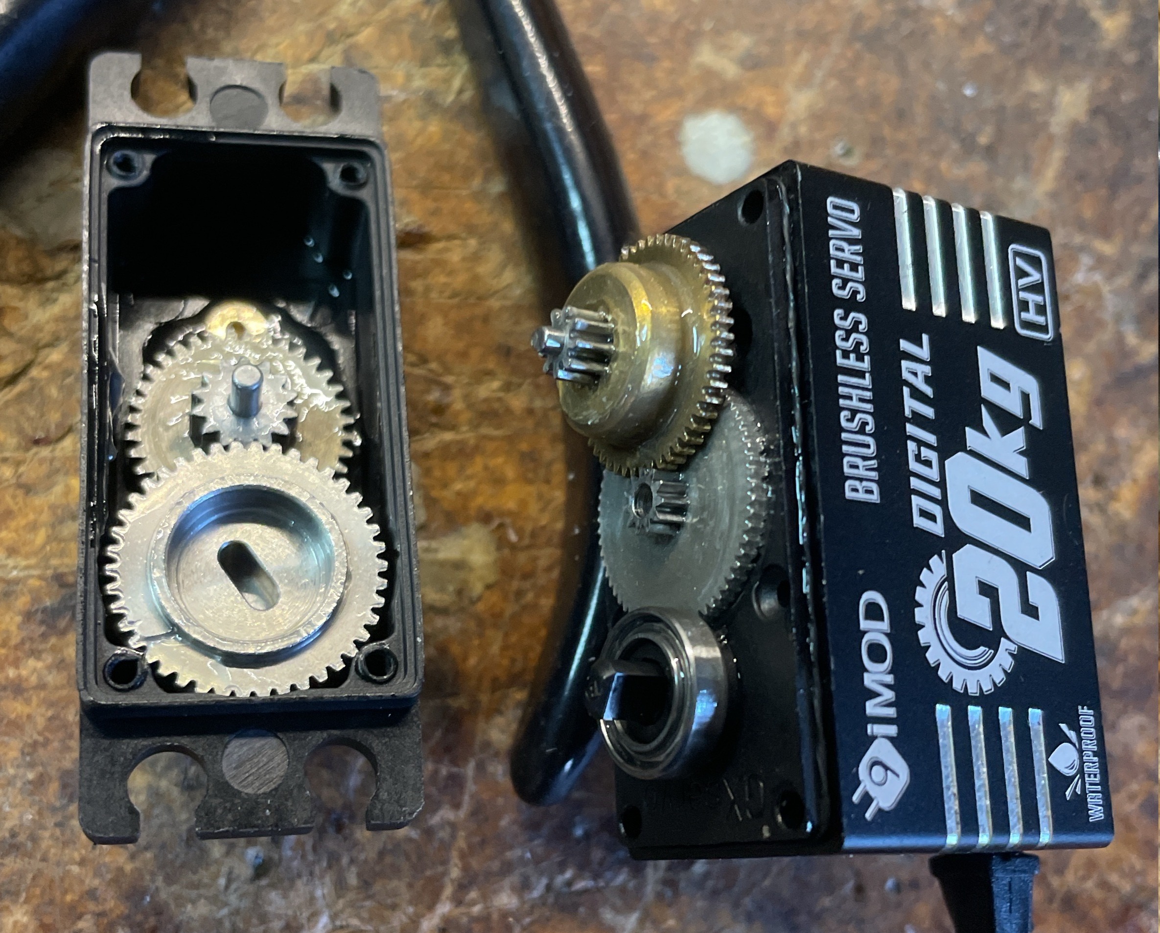
She suffered a lot of damage on the rocks. The vent/antenna tube was broken off and the equipment housing filled with seawater, destroying the electronics.
But the SD Card was still good !!
Analysis of the logs on the SD Card provided hints about what happened at sea.
It appears that the rough conditions with over 20 knots of wind combined with tidal movement caused breaking waves that tumbled the vessel, and damaged the tail on the wing sail.
It appears that the vessel lost drive from the sail, most likely due to the tail being damaged.
This is the second time the vessel has come ashore in Bass Strait due to suspected sail damage.
The logs showed that all of the electronics continued to function until a few hours after coming ashore on the rocks.
Conclusions
Its time to change the Wing Sail construction. Printed ABS components, with PVC film covering is ok in protected waters like lakes or Port Phillip.
But it is not suitable for Bass Strait.
But it is not suitable for Bass Strait.
Next Steps
My plan now is to develop new Wing Sail design and use new construction methods.
- I've always used NACA0018 foils. I plan to test designs using Eppler 169 foils due to their improved behaviour with the low Reynolds numbers encountered with small sailing drones. (calculated based on 12 knots of wind, over a chord length to 300mm to 450mm)
- The Tail assembly is fragile. I plan to develop a design where the tail is removed and the trim tab is included within the trailing edge of the wing sail to improve the robustness of the assembly.
- Effectively eliminating the tail will require the pivot point of the sail to move forward. A typical symmetrical foil is balanced about a point approximately 25% of chord from leading edge.
When a separate tail is added it ensures the assembly will "weather cock".
Without a tail, it will be necessary to move the pivot forward to ensure the wing sail continues to "weather cock".
I plan on commencing with 20% of the chord as the pivot point. - Initially development of the new sail design will be done using the same 3D printed ABS components with PVC film. This allows for rapid construction and is suitable for lake testing.
The plan is that next time Voyager sails in Bass Strait the wing sail will constructed using foam core covered with fibre glass for increased strength. This is similar to the construction of the hulls, which has been very successful.
I use 2 ounce fibre glass fabric with West System epoxy resin, over high density construction foam.